OziExplorer 1:150K Topographical Map Package by Polaris
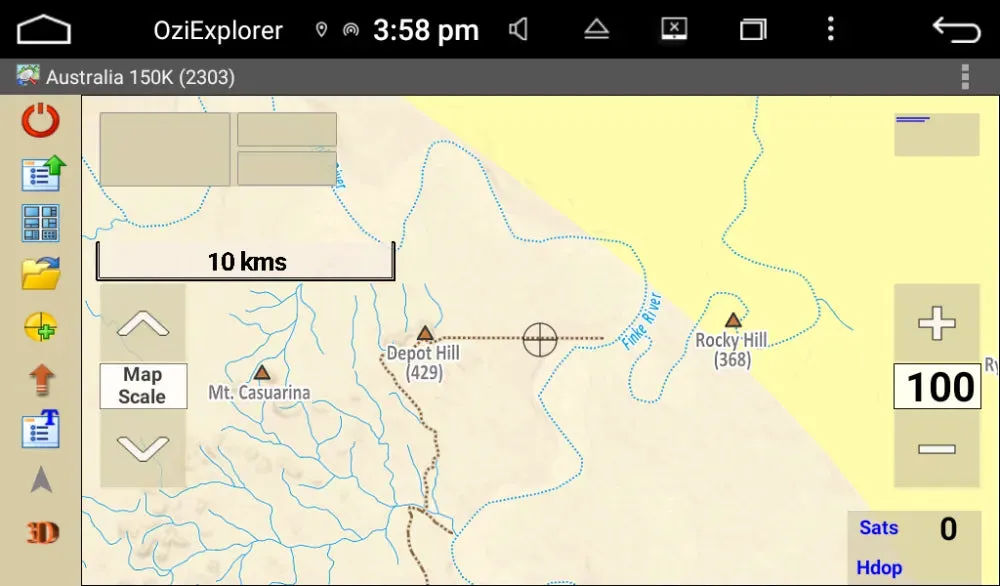
Introducing OziExplorer’s 1:150K Topographical Australia wide map package.
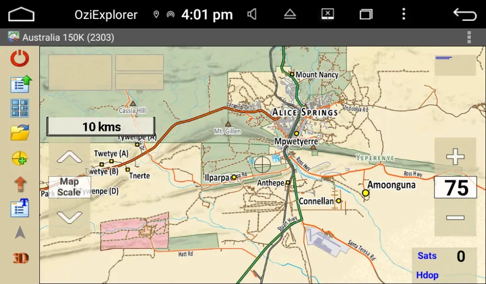
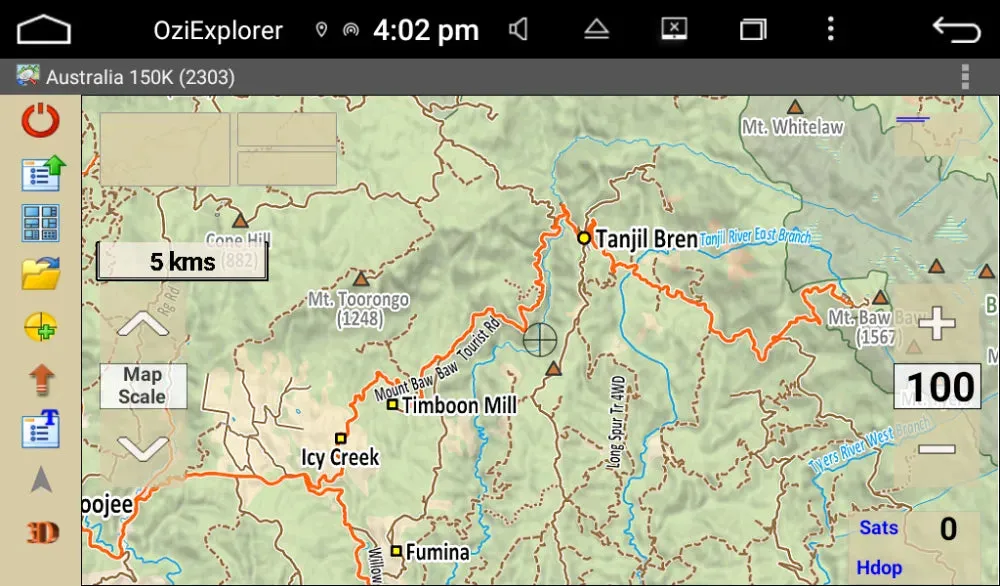
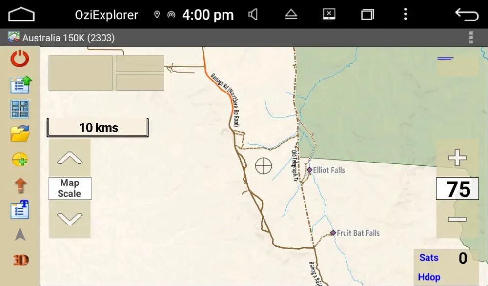
The ultimate tool for outdoor enthusiasts! Covering the entire Australian continent with detailed topographical maps, this package is perfect for campers, 4WD explorers, and adventurers looking to uncover hidden wonders.
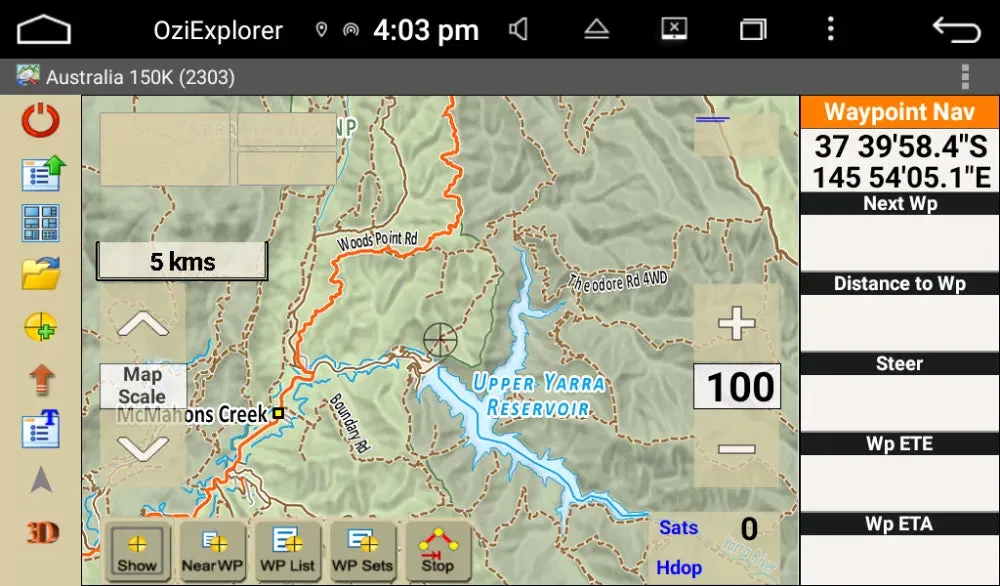
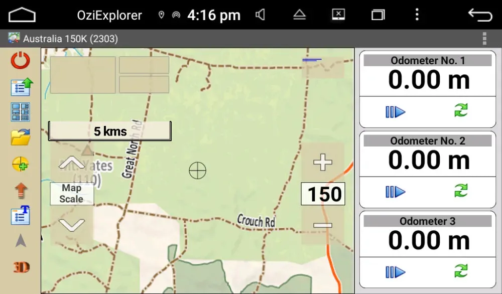
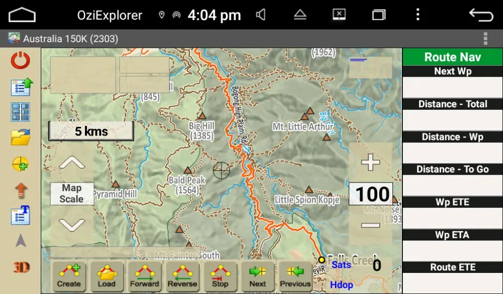
The maps feature contour lines, elevation data, water features, roads, and more, offering a comprehensive view of the terrain. Paired with OziExplorer’s intuitive software, you can plan routes, mark waypoints, measure distances, and customize your maps to suit your journey.
Add this map package to a Polaris head unit and start navigating Australia’s great outdoors with confidence!
Features
- Moving map navigation using the internal GPS.
- Course Up Mode.
- 3D Perspective View Mode.
- Support for Internal GPS and external Bluetooth GPS receivers.
- Uses almost any map which can be created by the PC version of OziExplorer.
- Use our Img2oz futility to convert maps to OZF4 format.
- OZF2, OZFX3, OZF4, ECW, JP2 (jpeg 2000) directly supported.
- PNG, JPG directly supported (small maps less than 20MBytes uncompressed).
- Automatic loading of the next map.
- Check for more detailed map at a set interval.
- User tracks can be loaded
- Logging of Track points to file.
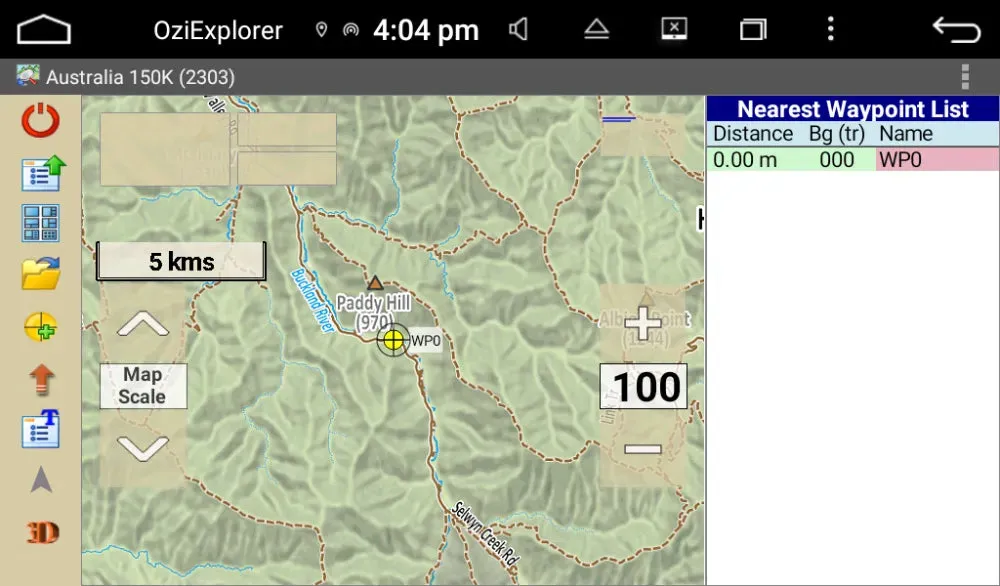
- Create Waypoints at current position by pressing the Create Wp screen button.
- Navigation to a waypoint or along a route.
- Using the Route Create option, routes can be created on the device.
- Many Map Zoom levels.
- Various Position display formats.
- On screen display of Speed, Bearing and Altitude.
- Display Waypoints on the map.
- Name Search
- Satellite View showing SNR, number of Sats and HDOP.
- Design your own skins (screens) on your PC using the free Screen Designer
- many more features to be added in future versions.




![Humminbird ICE HELIX 5 CHIRP GPS G3 - Sonar/GPS Combo [411730-1] Humminbird ICE HELIX 5 CHIRP GPS G3 - Sonar/GPS Combo [411730-1]](https://www.swftadventure.shop/image/humminbird-ice-helix-5-chirp-gps-g3-sonargps-combo-411730-1_zfAU4u_275x.webp)

