Cart(0)
Essential Outdoor Gear & Navigation Tools | Compass, GPS Units, Durable Maps & More
Essential Outdoor Gear & Navigation Tools | Compass, GPS Units, Durable Maps & More Essential Outdoor Gear & Navigation Tools | Compass, GPS Units, Durable Maps & More
Home Navigation Tools Map
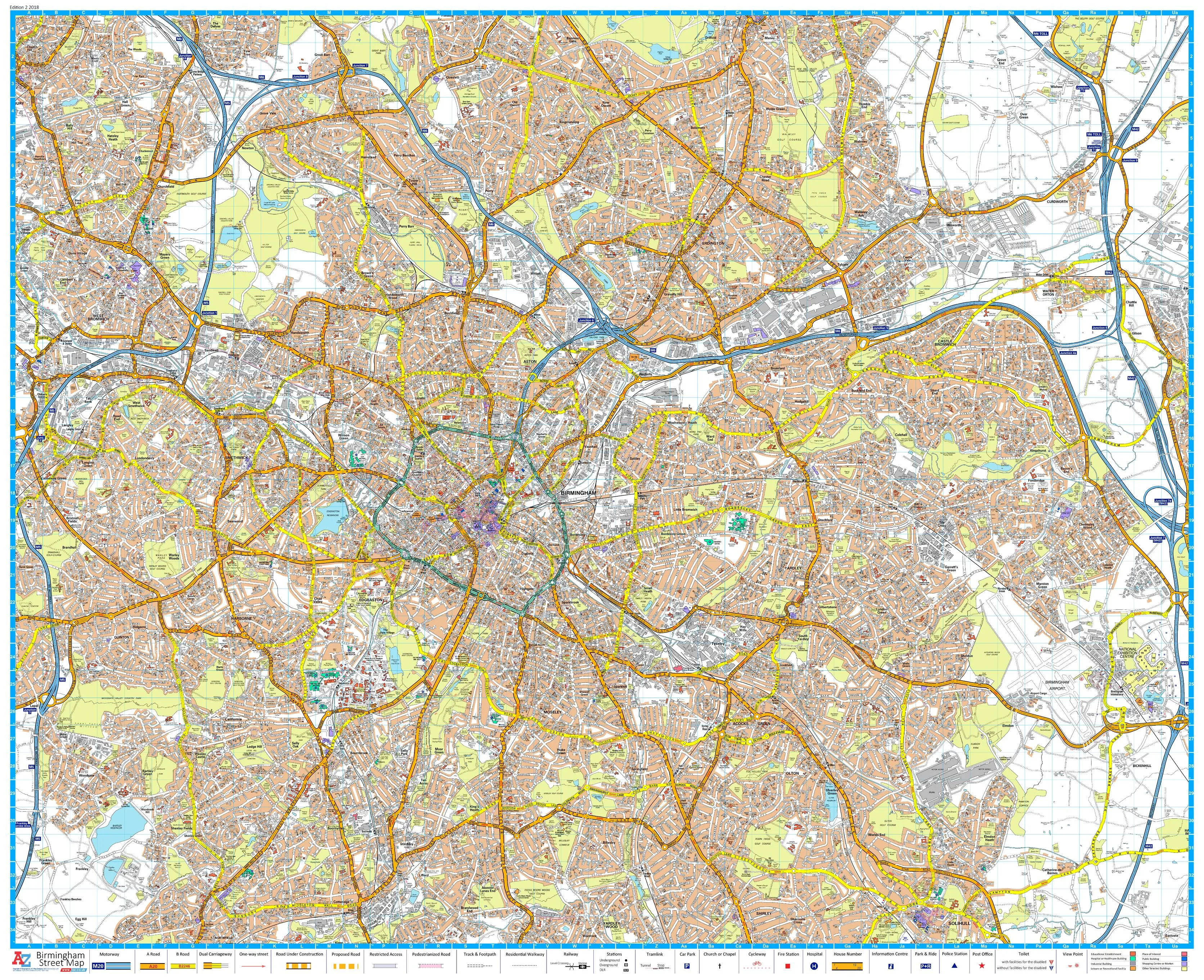
Coventry A-Z 1046 x 920mm Wall Map
Title:
  • Paper
  • Laminated

$ 0.00

$ 69.95

Please select combo product attributes
The combo subtotal is $,SAVE$

Product Details

 A-Z Street Map of Coventry. This map covers Keresley Newlands, Coventry, M6 Junction 3, Walsgrave on Stowe, Binley Woods, Ryton-on-Dunsmore, Coventry Airport, Millison's Wood, Tile Hill

We can laminate this map, which will allow you to draw on it in whiteboard marker or apply our  to locations of interest without permanently marking the map. The lamination also makes the map very durable and protects against tears and stains.

Published: 2018

Scale: 1:12,672

Size: 1046 mm (wide) x 920 mm (high) 

You May Also Like
Unavailable
Cart
Essential Outdoor Gear & Navigation Tools | Compass, GPS Units, Durable Maps & More
Your cart is currently empty.